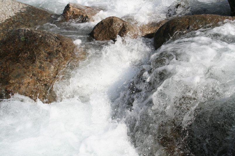
North and South Thompson Rivers
Three factors create conditions for flooding: snowpack levels in Thompson River catchments, weather (warm temperatures & rain on snow events), and/or the time at which the North and South Thompson river levels peak.
April 1st 2022 snow pack throughout BC is near normal.
North Thompson Snow Basin: 119% of Normal
South Thompson Snow Basin: 101% of Normal
TteS Dykes are constructed to one-in-200-year flood design standards. TteS inspects its dykes throughout the freshet.
Paul Creek
Residents and businesses located in low-lying areas or along creeks are reminded to prepare early and protect their properties.
Community members who live and work alongside waterways, culverts, and riverbanks are asked to stay as far back from the banks as possible and use extreme caution. Banks may be unstable as high-flowing waters can cause erosion under the visible surface.
Resources
To report flood-related concerns, contact:
Tk̓emlúps te Secwépemc Public Works
(250) 318-6400
ARGO Road Maintenance – (Kamloops Service Area)
East Shuswap Road, Paul Lake Road, and Chief Louis Way are Provincial highways located on reserve.
Please report all concerns to Argo Road maintenance’s 24-hour call-in number:
1-800-661-2025
argokam@argoroads.ca
Sand Bags
If flooding seems like a real possibility, employ sandbags around the foundation of your house. Sand and sandbags are available for loading at:
TteS Public Works
762 East Athabasca Street
(Mt. Paul Industrial Park)
TteS will provide updates on flood protection efforts should conditions change.
For additional information regarding City of Kamloops flood protection efforts, go online to: www.kamloops.ca/flooding
